Features
How block structure, ground floors, shade and reused land make an American downtown walkable
The physical choices behind a walkable American downtown: block length, ground-floor doors, crossings, shade and cool paving, plus reuse of contaminated land.
Downtowns do not become walkable by being declared walkable. They become walkable through a short list of physical decisions, most of them dull, most of them made by public works departments rather than by marketing committees. Knowing that list lets a visitor read a downtown in ten minutes and lets a resident argue for the right things.
What to take away
- Short blocks and frequent crossings do more for walking than any single attraction.
- Ground-floor uses decide whether a street is worth walking down at all.
- Surface temperature is a design choice, and it shapes how usable a downtown is in summer.
- Downtowns often expand into land that was previously contaminated and unusable.
Block structure comes first
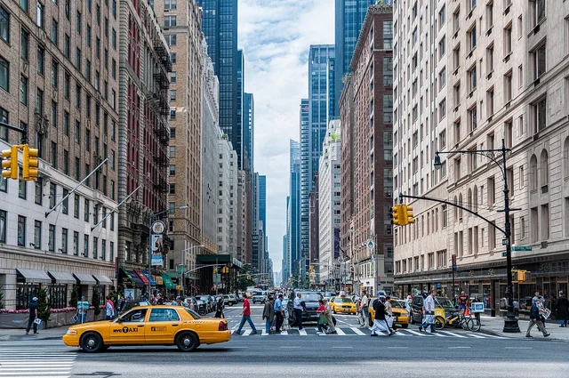
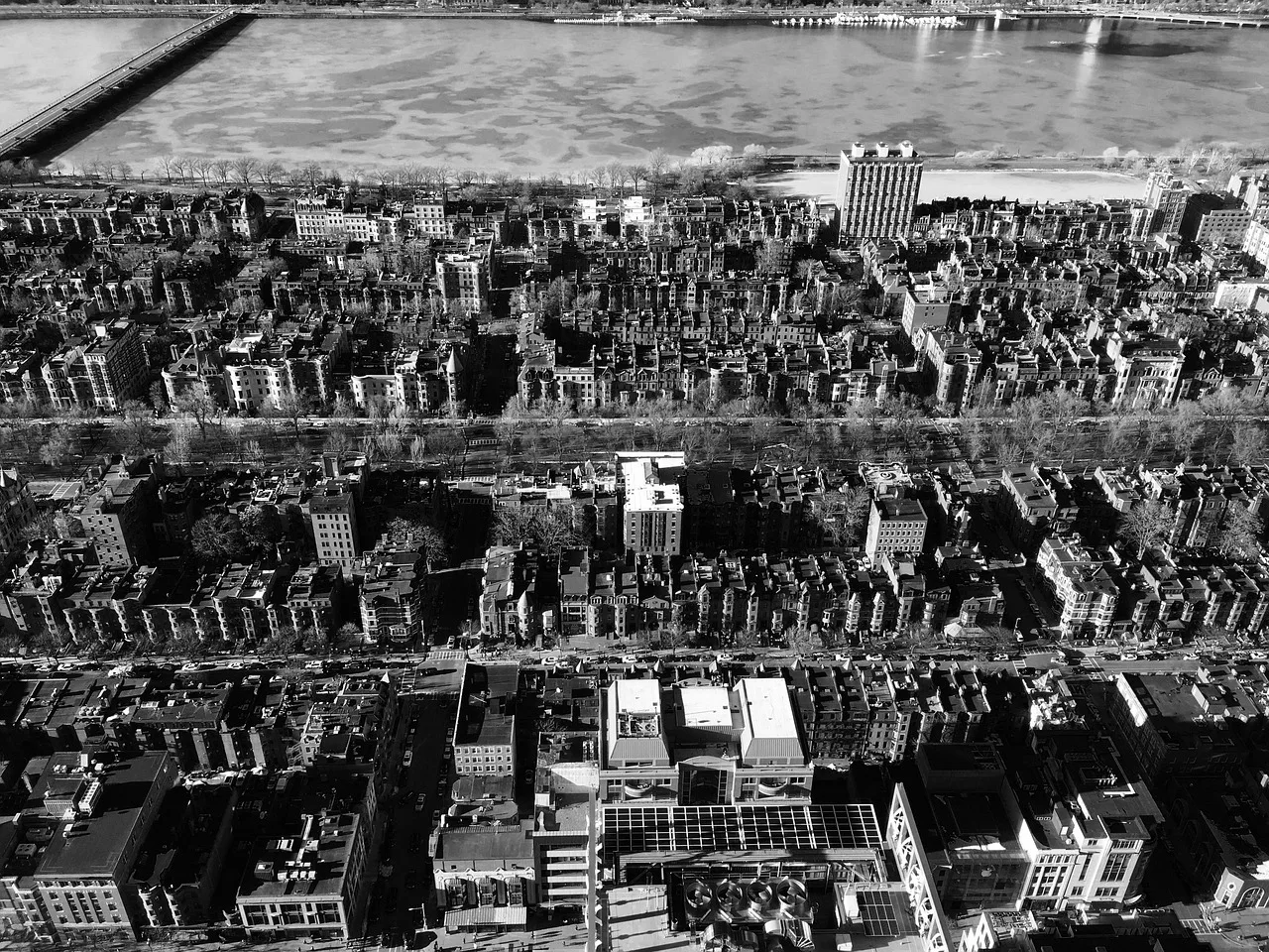
A downtown with 300-foot blocks gives you a corner every ninety seconds and a choice at every corner. A downtown rebuilt around 800-foot superblocks gives you a long walk past a blank wall and one crossing point where everyone waits. Nothing inside the buildings compensates for that.
Look for the second thing too: whether the grid connects across the barrier. Most American downtowns have one, usually a rail line, a river or a highway. Three crossings or one decides whether the district works as one place.
Ground floors do the work
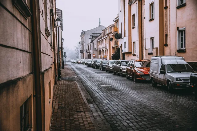
Walking is only pleasant past active frontage. A block with doors every twenty feet reads as short. The same block with one entrance and a parking garage reads as endless. That is why parking policy is a walking issue: every surface lot on a main street is a gap in the wall of things worth passing.
The test is countable. Walk one block and count the doors you could actually open. Under five in a downtown core is a warning.
Heat is a design decision
Summer usability comes down to surface temperature and shade. EPA's summary of cool pavements cites a pilot study in Arizona where conventional asphalt reached surface temperatures up to 152 degrees Fahrenheit at midday, while cool pavements stayed 10 to 16 degrees cooler. It also notes there is currently no official standard or labeling program for cool paving materials.
Walkable vs failing downtown design
Walkable version
- Blocks
- 200 to 400 feet
- Ground floor
- Doors every twenty feet
- Crossings
- Signals and ramps at every corner
- Shade
- Canopy or awnings on the sunny side
The version that fails
- Blocks
- 800 feet with blank walls
- Ground floor
- One entrance, then parking
- Crossings
- One crossing per barrier
- Shade
- Open asphalt
The visitor version of that fact is simple: the shaded side of the street in July is not a preference, it is the only side that works.
Walkable version
- Blocks
- 200 to 400 feet
- Ground floor
- Doors every twenty feet
- Crossings
- Signals and ramps at every corner
- Shade
- Canopy or awnings on the sunny side
The version that fails
- Blocks
- 800 feet with blank walls
- Ground floor
- One entrance, then parking
- Crossings
- One crossing per barrier
- Shade
- Open asphalt
Reused land, not new land
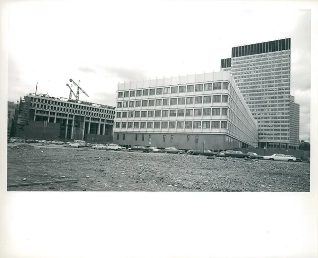
Downtown expansion usually means reusing land that was already built on. EPA's brownfields program works with communities on the cleanup and safe reuse of sites where contamination complicates redevelopment. That effort began with seed money to local governments in the mid-1990s and was later codified in law.
Old rail yards, fuel depots and industrial parcels sit exactly where downtowns want to grow, which is why so many new downtown parks and markets are on land that used to be off limits.
If you want to test all this on the ground, the two-day approach in our comparison of downtown tours is a quick way to see a district through someone who knows it. For picking which downtowns are worth the detour at all, start with stops worth adding to a longer trip.
Common questions
Does a pedestrian mall make a downtown walkable?
Is more parking bad for walking?
Why do some new downtown parks appear in odd places?
What single feature predicts a good downtown walk?
In this guide
- How to compare tours built around walkable downtowns, in plain termsA comparison method for downtown walking tours: match them on route and depth, not price, and check what the guide can explain about the street itself.
- Walkable downtowns stops worth adding to a longer trip: the useful versionWalkable downtown stops worth adding to a longer trip: pick a detour with rail or bus access and a core you can loop in an hour, then name the reason.
- Pricing a two-night stay in a walkable downtown, line by lineA walkable downtown weekend runs about 700 dollars for two, with hotel lodging and restaurant food taking most of it and public transit almost none.
- Walkable Downtowns Planning for an Unhurried VisitWalkable downtowns planning starts with two fixed points, a protected break, and a rain backup. These pacing tips keep a visit flexible and enjoyable.
- Best walking season for downtowns: shoulder months over summer heatBest seasons to plan walkable downtowns in 2027: how the season changes a downtown walk, shoulder-month advantages, summer ozone and heat, winter daylight.