Industry
Part of 3 lessons from walkable town case studies
Finding local guides who know why a walkable town's district changed
How to find: who actually knows why a district changed, how to reach them politely, and what to ask so an hour of their time is worth more than a week of reading.
If you want to understand why a district looks the way it does, the person to ask is rarely a tour guide. It is usually someone who sat in the meetings. They are easier to reach than people expect, and they are almost always willing to talk about work they are proud of.
What to take away
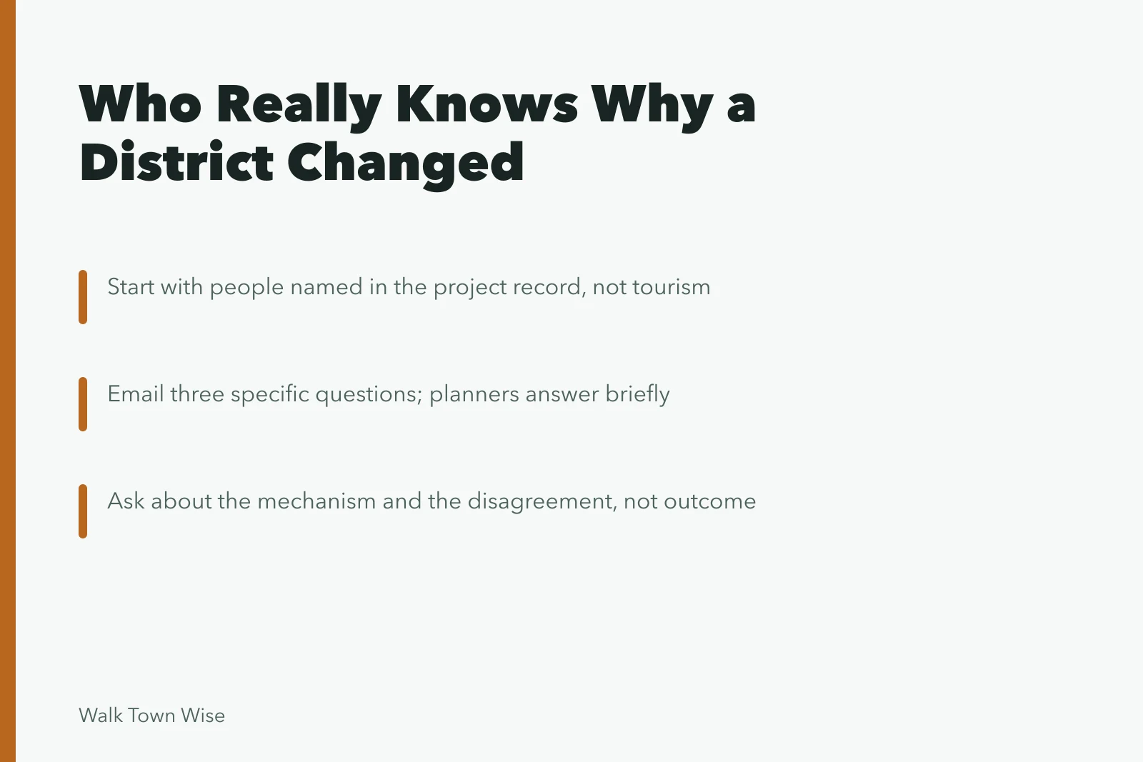
- Start with the people named in the project record, not with tourism.
- Local leaders, planners and nonprofit staff answer polite, specific questions.
- Ask about the mechanism and the disagreement. Both are more interesting than the outcome.
- Educators are an underused source, and their material is public.
Who to approach, in order
- The planning department, for what was built and when.
- The downtown or main street organization, for who paid and who objected.
- A community development nonprofit, for what happened to residents.
- The public library's local history desk, for everything before that.
Email rather than phone, keep it to three questions, and say what you are doing. A visitor asking why a street was rebuilt is a pleasant email to receive, and it arrives in an inbox otherwise full of complaints.
How to write the email
- Email rather than phone
- Keep it to three questions
- Say what you are doing
- Write to a named person
- Send two or three weeks ahead
Two practical notes. Write to a named person rather than a general address, because general addresses go to whoever is least busy. And send it two or three weeks ahead, since the reply often includes an offer to meet, which is worth far more than the answer you asked for.
Local leaders are part of the design
Community engagement is written into how these projects are supposed to work. HUD's guidance for Opportunity Zones local leaders states that community residents, faith leaders, small business owners and elected officials all have knowledge to contribute, and that local strategies should engage all stakeholders to attract investment.
That framing is useful to a visitor because it tells you who was in the room. Those are the people who can explain a decision, and they are usually listed somewhere public.
| Question to ask | Why it works |
|---|---|
| What was here before? | Everyone knows, and it explains the surfaces |
| Who paid for it? | Names the mechanism, which is the transferable part |
| What was the argument about? | Reveals what the project traded away |
| What would you do differently? | The most honest answer you will get |
Educators, and public teaching material
Schools and colleges use the same public data that planners do, and their material is often the clearest explanation available. EPA publishes EnviroAtlas educational materials with ready-made lesson plans for every level from kindergarten through undergraduate, aligned to Next Generation and state science standards, including modules that have students explore their local watershed through maps and web mapping sessions.
Material written to be understood by a fifteen-year-old is usually the fastest route into an unfamiliar subject, and it is written by people who checked their sources. It is also the version you can repeat accurately to somebody else, which is a fair test of whether you have understood it.
Local teachers are worth asking directly too. A geography or civics teacher in a small town has usually taken classes to the site you are interested in and can tell you in five minutes what took the planning department four meetings to decide.
Our guide to finding local guides covers the commercial side of this, and the case studies pillar covers where the documented projects are recorded in the first place.