Guides
Part of Judging a walkable town before you book: a beginner's field guide
How to shape a two-day walkable towns itinerary
Shape a two-day walkable towns itinerary: a reusable day-one loop and day-two climb, daily mileage, elevation checks and a rain plan for small-town visits.
Two days is enough for a small American town and not quite enough for a mid-sized one. This walkable towns itinerary is a shape rather than a script, because the specific stops change everywhere and the structure does not. It assumes you arrive by train or bus, sleep in or beside the core, and walk everything.
What to take away
- Day one is orientation and low elevation. Day two is the climb and the outlying stop.
- Five to six miles a day is a full schedule once stops, queues and meals are counted.
- Put the climbing in the morning and the indoor stop in the mid-afternoon.
- Check the elevation profile of your route before you commit to the route.
Day one: the flat loop
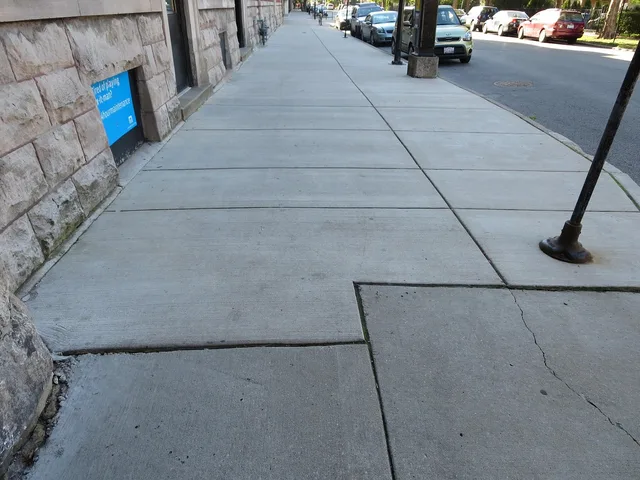
Drop bags, then walk a wide loop of the core without entering anything. Ninety minutes, no tickets, no decisions. You are building a mental map: where the main street runs, where it stops being interesting, where the food is after eight in the evening, and where the sidewalk gives up.
Day One: The Flat Loop
- ArrivalDrop bags, walk 90-minute core loop
- MiddayLunch at the far end
- AfternoonOne indoor anchor museum or market
- EveningGolden-hour loop, then dinner
Eat lunch at the far end of the loop, not near the hotel, to pass through a second neighborhood on the way back.
Spend the afternoon on one indoor anchor: a museum or a market with seating. Finish with the second half of the loop at golden hour, when a town shows its best light and its worst pavement.
Day two: elevation first
Start climbing within thirty minutes of leaving the room. Legs are fresh, temperatures are lowest, and the light is better on the way up than on the way down.
Day Two: Elevation First
- MorningClimb within 30 minutes of leaving
- MiddayOutlying stop by bus
- AfternoonReturn, second neighborhood
- EveningSlow street, early night
Mid-afternoon is the hardest part of an urban walking day, for a physical reason. EPA's summary of urban heat island effects reports that daytime temperatures in United States urban areas run roughly 1 to 7 degrees Fahrenheit above outlying areas, with nights 2 to 5 degrees warmer. The effect is strongest in humid regions and larger, denser cities.
That gap is why a downtown afternoon in July feels worse than the forecast suggests. Schedule the indoor stop into it rather than trying to walk through it.
Day one
- Morning
- Arrive, drop bags, wide loop
- Midday
- Lunch at the far end
- Afternoon
- Indoor anchor
- Evening
- Golden-hour loop, dinner
Day two
- Morning
- Climb, viewpoint, descent
- Midday
- Outlying stop by bus
- Afternoon
- Return, second neighborhood
- Evening
- Slow street, early night
Check the profile, not just the distance
Distance is a poor guide in a town with grade. Before fixing day two, run your route through a tool that shows elevation. EPA's EnviroAtlas interactive map has more than 500 maps, needs no GIS skills, and includes an elevation profile tool for any line segment you select.
Two miles with 400 feet of gain is a different afternoon from two flat miles. Knowing that in advance separates a viewpoint from a taxi.
Two companion reads go with this shape: the field guide to walkable towns on reading the maps first, and the walkable town cost and transport notes on the outlying stop that so often decides whether you needed a car at all.
When it rains
Do not reverse the days. Reverse the halves. Move the indoor anchor to the morning, take the climb in the afternoon gap, and accept a wet descent, which is safer than a wet climb. Keep one indoor option in reserve for each day and never plan two outdoor anchors back to back.