Guides
5 things nobody tells you about walking itinerary design
How a walking route is actually built: fixing anchors, choosing loop or linear, ordering the climbs, spacing rest points and leaving a way to bail out.
Designing a walking day is a small engineering problem. You have anchors that cannot move, a distance budget, a climb budget, and a set of failure modes. Everything people find enjoyable about a good walking day comes from getting that structure right, and almost everything they find exhausting comes from getting it wrong.
What to take away
The bail-out rule comes first. Mark a point about two thirds of the way round where the route can be cut short.
- Fix the immovable anchors first, then build the route between them.
- Choose loop or linear deliberately. Each fails in a different way.
- Put the climbing early and the crowds late, and space the rests.
- Measure the route on a map, including the total ascent.
- Build in the bail-out, and mark it on the page you carry.
1. Anchors first
An anchor is anything with a fixed time or place: the train, a reservation, an opening hour, a tide, a sunset. Write them down with times before drawing anything. Most bad walking days come from designing a beautiful route and then discovering it passes the one interesting building forty minutes after it closes.
How many anchors per day
- 2comfortable
- 3a schedule
- 4commuting
2. Loop or linear
| Shape | Works when | Fails when |
|---|---|---|
| Loop | Base is central, no transport needed | The second half is dull |
| Linear with transit return | The best part is at one end | Service is thin or Sunday |
| Out and back | The destination is worth it twice | Weather turns on the return |
| Point to point between towns | You are moving bases anyway | Luggage has nowhere to go |
Loops are the safest default because they end where the bathroom, the bag and the bed are. Linear routes are better when the good half is at one end, but they take a hard dependency on a return service, so check it before committing.
Route shapes compared
Loop
- Works when
- Base central
- Fails when
- Second half dull
- Dependency
- None
Linear with transit return
- Works when
- Best part at one end
- Fails when
- Service thin or Sunday
- Dependency
- Return service
Out and back
- Works when
- Destination worth twice
- Fails when
- Weather turns on return
- Dependency
- None
3. Ordering the day
Climb early. Legs are fresh, temperatures are lower, and light on ascent is generally better. Put narrow, popular streets at the end of the day when the daytime crowd has thinned, and reserve the middle of the day for whatever is indoors, shaded or seated.
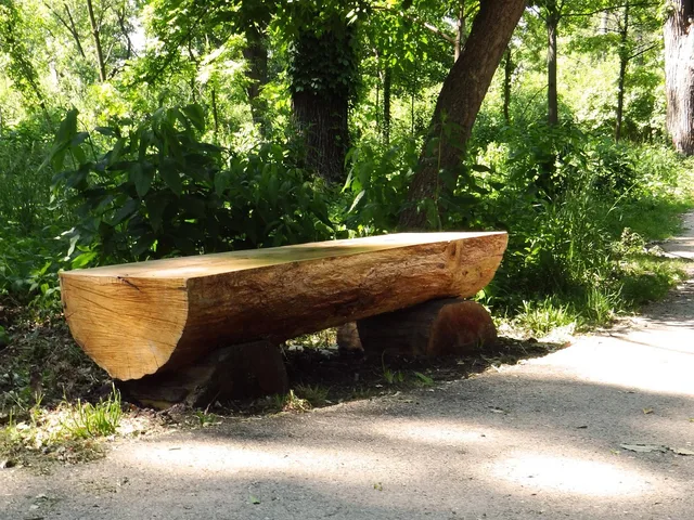
Space the rest points rather than the sights. A bench or a cafe every forty-five minutes keeps the day comfortable. Two rest points in the first hour and none in the last two is the standard mistake.
4. Rules, maps and the budget
The Access Board's executive summary of its shared use path rulemaking sets out the accessibility guidelines the Board maintains for shared use paths. Section 502 of the Rehabilitation Act requires guidelines for the design, construction and alteration of facilities covered by the ADA and the ABA.
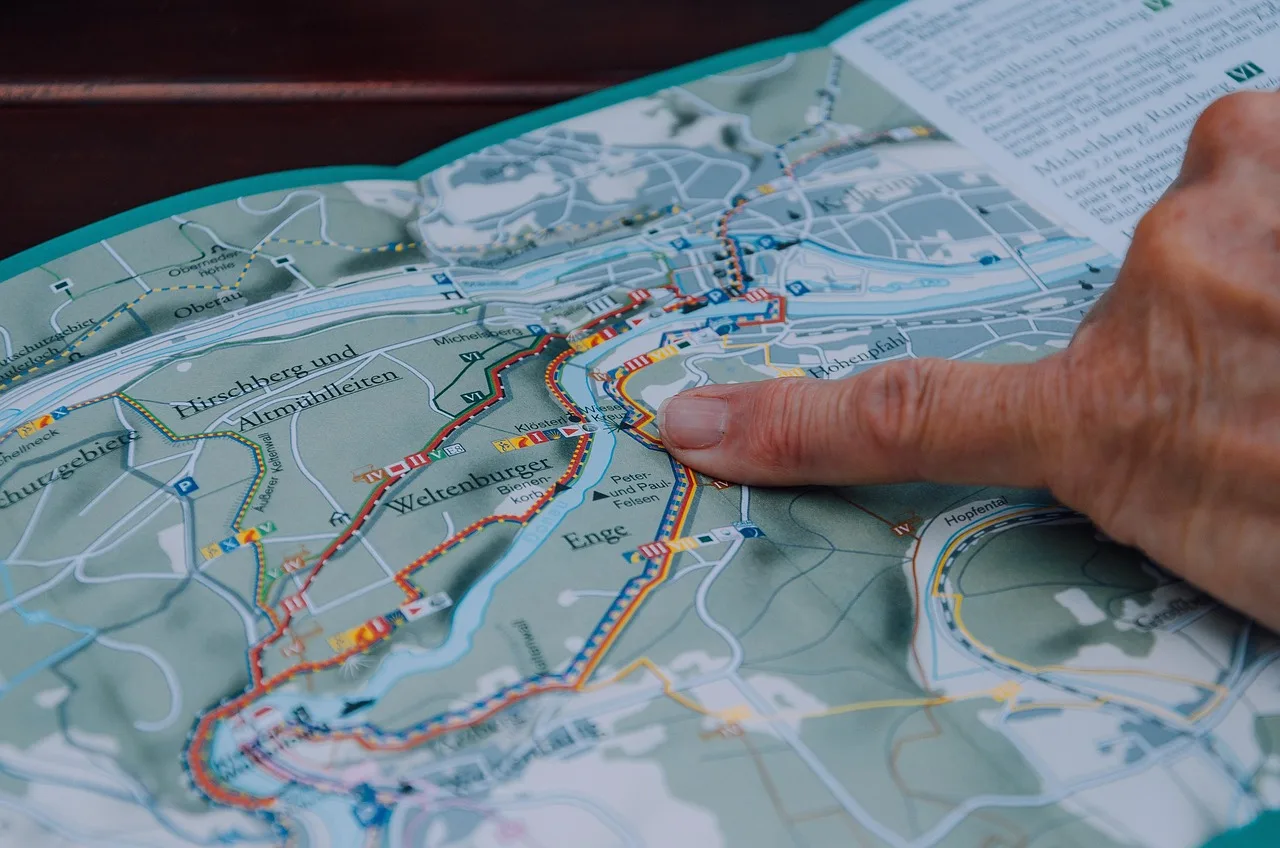
For the map work, EPA's collection of EnviroAtlas use cases shows how its mapped data has been applied to research, planning and decision support. OpenStreetMap covers paths and crossings, and a printed USGS topographic map shows the contour lines where the climb sits.
Budget in time rather than miles. A typical sightseeing pace on the flat is two to three miles an hour, and about half that where the path climbs. Count total ascent, not the steepest grade.
5. Build in the bail-out
Roughly two thirds of the way round, mark a point where the route can be cut short: a bus stop, a taxi rank, a road back. Knowing it exists is usually enough. Without it, tiredness or weather turns into a decision made badly, in the rain, with nobody agreeing.
Worked example. Take Savannah, Georgia. Base: a hotel on the edge of the downtown grid. Two anchors: a timed 10 a.m. tour and a 6 p.m. dinner booking.
The loop I would draw runs about five miles. The downtown is flat, so under 100 feet of total ascent is typical for the day. Bail-out at two thirds round: the river ferry dock, one hop back to the west end.
For the parts this piece leaves thin, planning without rushing covers how much slack a day of this kind needs, and the two-day itinerary for walkable towns turns the same method into a timetable for two days.
Common questions
How much distance per day?
How much climb is too much?
Should I plan the meals into the route?
Do I need a paper map?
In this guide
- Walking Itinerary Design Comparison: Route ShapesWalking itinerary design comparison starts with the route: compare loop and linear shapes, the finish, shared paths, and who planned the walk.
- Walking Itinerary Design Options: Six WaypointsWalking itinerary design options for Boston’s Emerald Necklace: six waypoints—seating, water, shade, a bathroom, green space, and a bail-out.
- Walking Itinerary Design Planning: Five StepsWalking itinerary design planning, in five steps: set priorities, check constraints, map a town route, budget paid stops, and review the day.